Please join us on Wednesday, August 19, 2026 from 4 to 6 p.m. at the Chequessett Club, 680 Chequessett Neck Rd., Wellfleet for our 42nd Annual Meeting and Reception.
We start with a reception for informal discussion with the Trustees and other members, home-made hors d’oeuvres, desserts, soft drinks and a cash bar. Following the reception, we will conduct our regular Annual Meeting.
Andrew Gottlieb, Executive Director of the Association to Preserve Cape Cod (APCC) will present a special report, “The Cape We Shape.” This is the APCC’s program to protect the natural benefits of the remaining areas of undedicated open space. By protecting our priority natural resource lands, we also safeguard clean water, species at risk, and the natural beauty that sustains our economy and makes life on Cape Cod special.
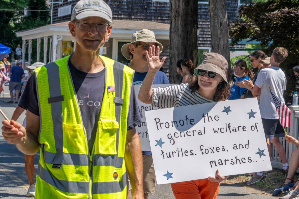
With the approval of the Wellfleet Conservation Commission and the WCT Trustees, Barbara Brenesel and Michael Fisher installed a 75-foot long, low fence to protect the terrapins at the Head of Duck Creek property from overshooting the nesting garden area and going into the gas station and out on Route 6. The fence materials were donated by an anonymous donor. We hope the safety net will prove to be successful.
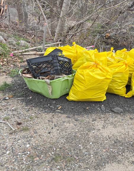
On the morning of April 22, 2026, a team of WCT volunteers cleaned up a great deal of trash from one of our properties, WCT 54 on Rte. 6. Eric Siegler, Tom Janssen, and Michael Fisher collected 11 full bags of trash plus some larger items. The weather held and there were no encounters with ticks, coyotes or snappers.
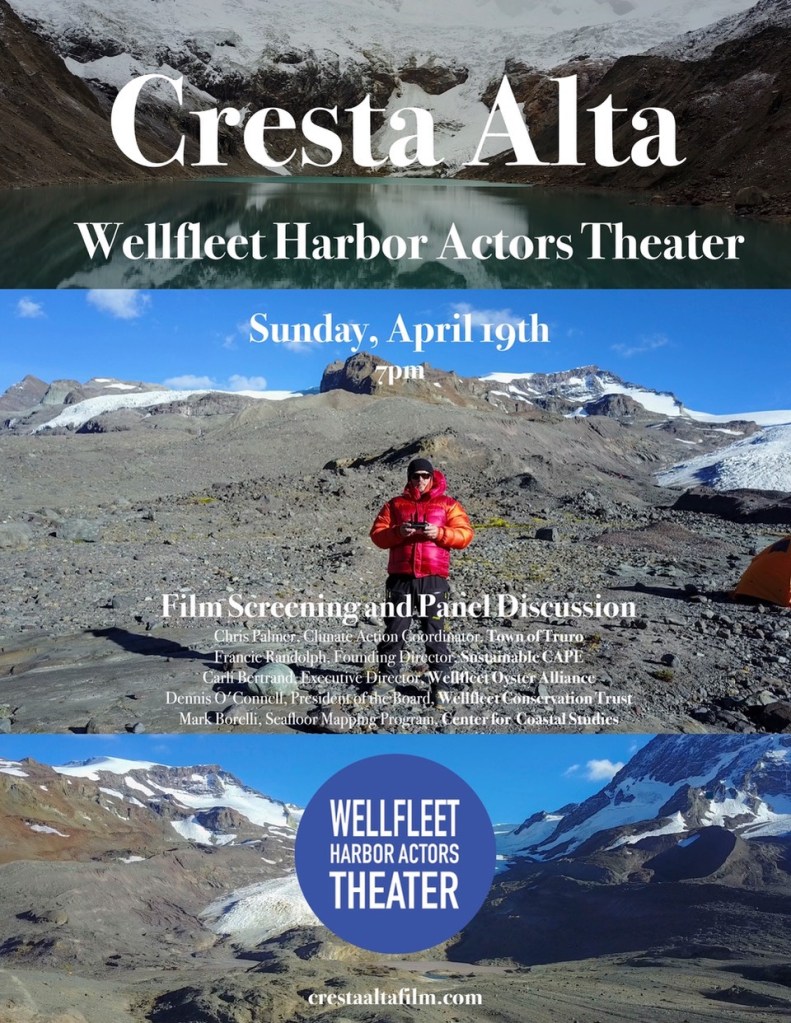
WCT President Denny O’Connell will be a panelist in the discussion to follow the free documentary film Cresta Alta , which will be screened Sunday, April 19, 2026 at 7 p.m. at the WHAT Theater in Wellfleet. Cresta Alta chronicles an expedition of dedicated scientists who travel to Alaska, Chile and Peru to gather field data that informs our understanding of climate science and sustainability. The film by Todd Anders Johnson, who studied development issues at the University of Washington, highlights the need for more sustainable policies regionally, nationally and globally.
Scheduled for the evening are a meet & greet at 6:30, the film screening at 7:00 with a Q&A period and the panel discussion following it. Panelists who will be participating include: Chris Palmer, Climate Action Chair from the Town of Truro; Francie Randolph, Founding Director of Sustainable CAPE; Carli Bertrand, Executive Director of the Wellfleet Oyster Alliance; Dennis O’Connell, President of the Wellfleet Conservation Trust Board of Trustees; and Mark Borelli of the Center for Coastal Studies’ Seafloor Mapping Program.
Cresta Alta is a part of the Risan Project Earth Week Film Tour. The event is free. No reservations are needed.
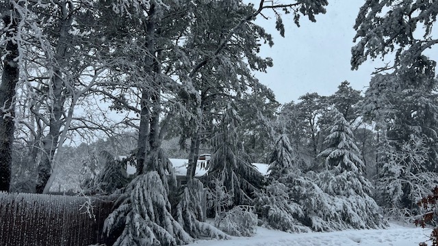
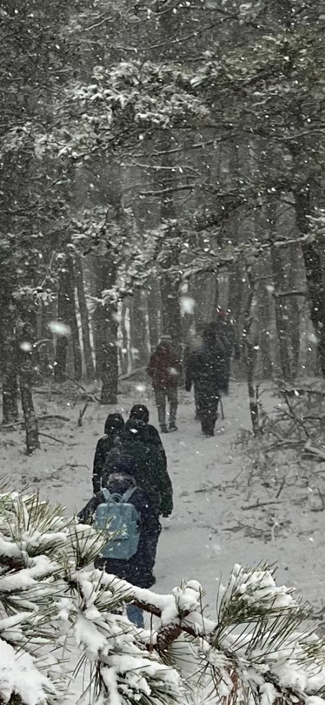
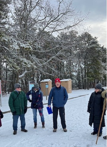
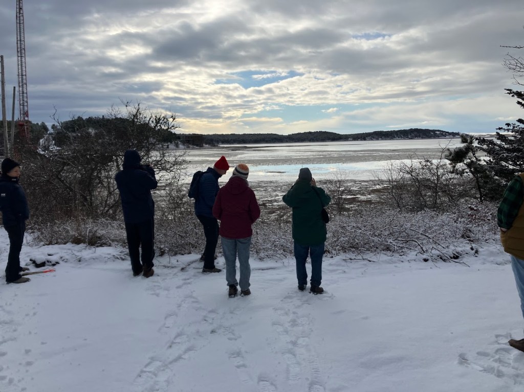
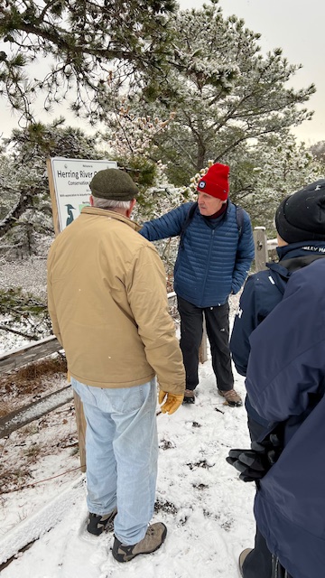
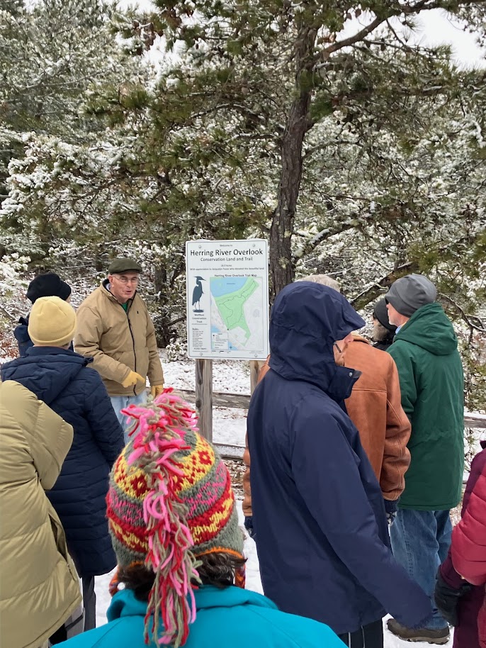
10:00 AM – The Gut to the Herring River Overlook Herring River Overlook, Wellfleet Hosts: Wellfleet Conservation Trust and Friends of Herring River (Wellfleet/Truro)
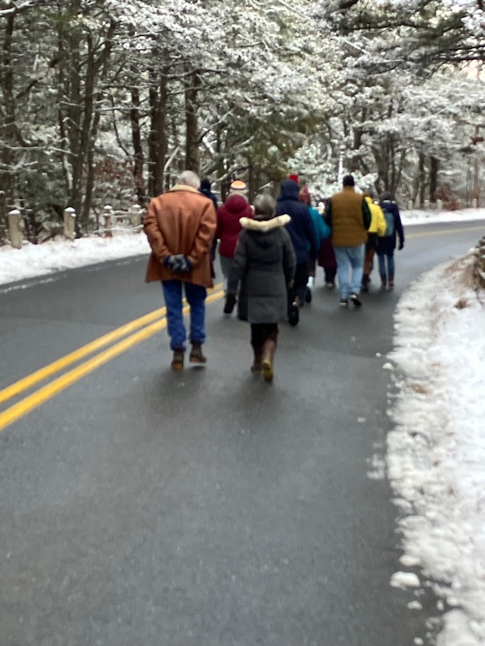
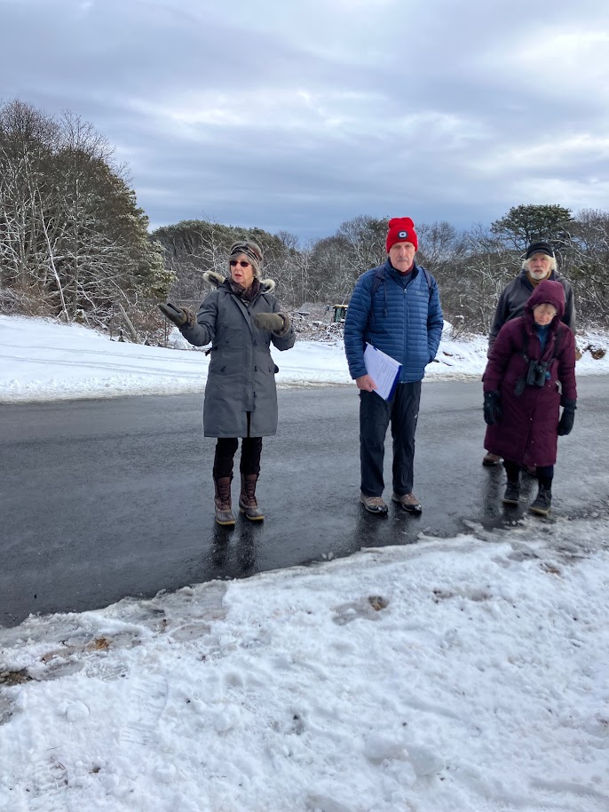
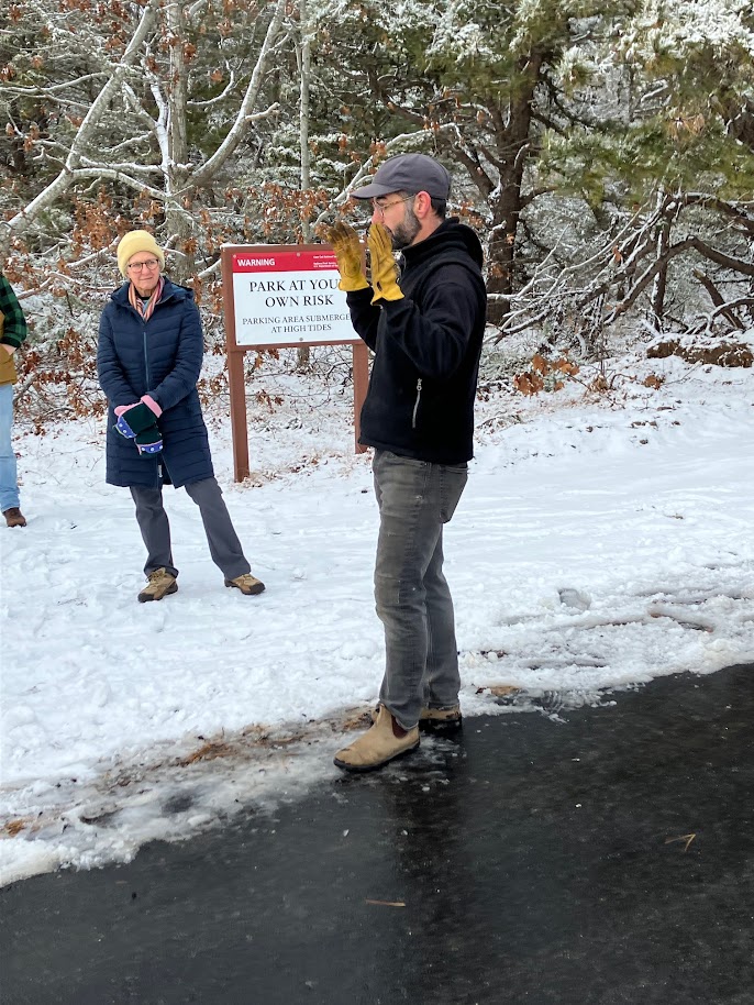
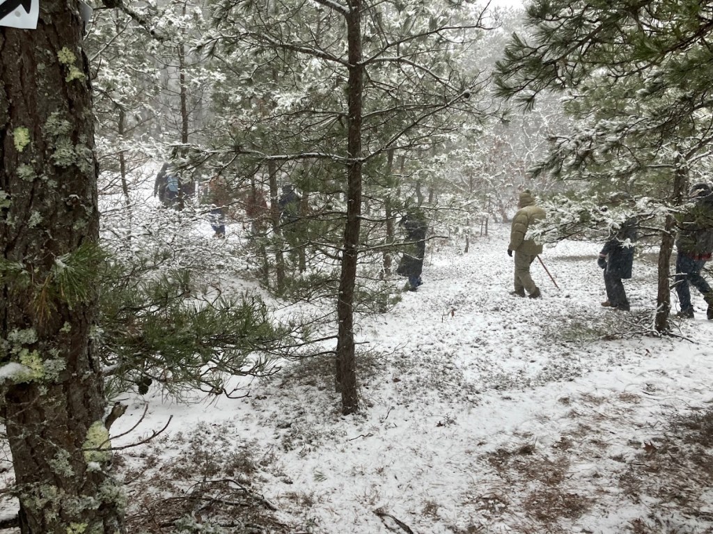
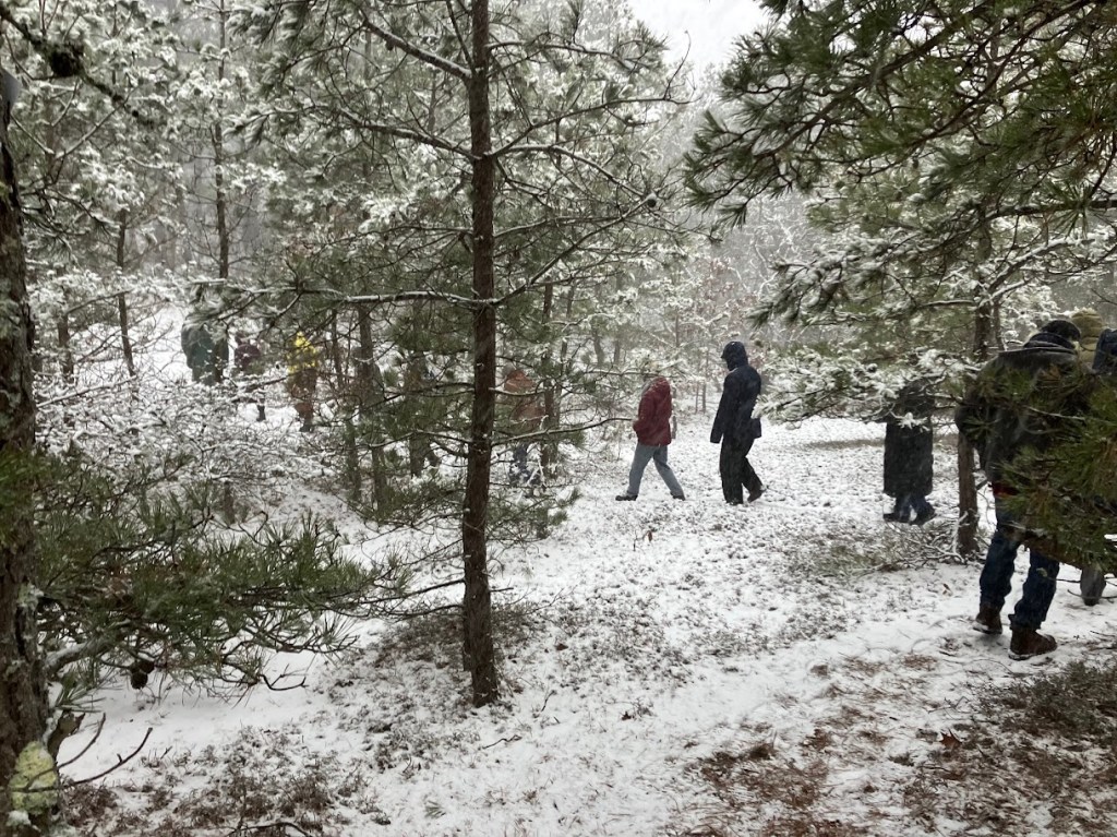
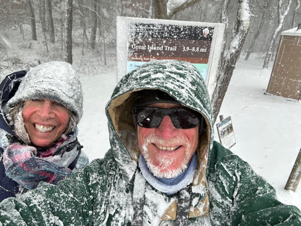
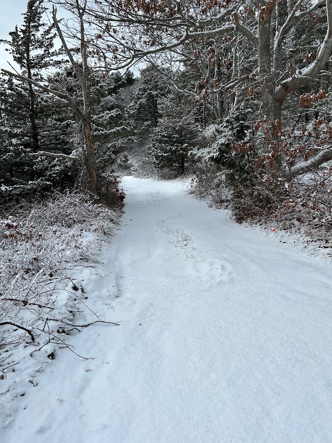
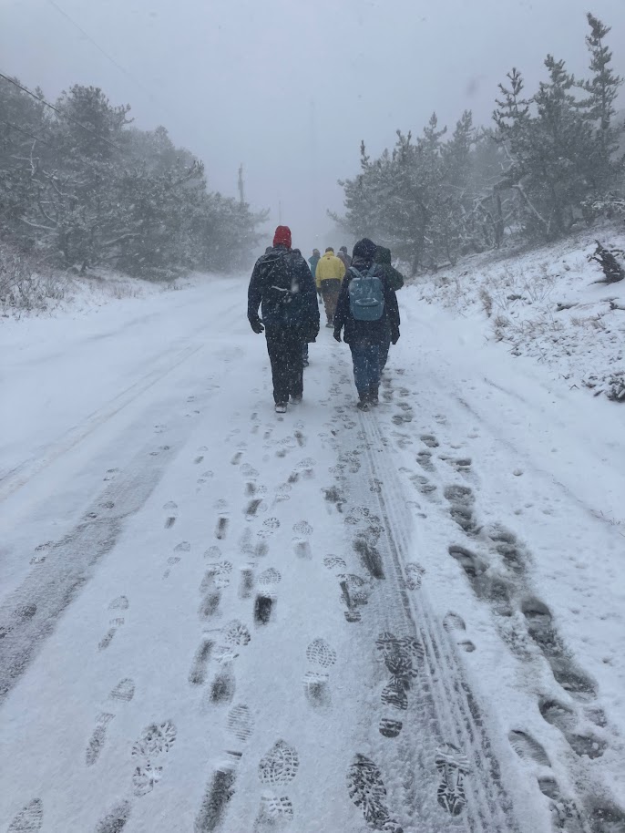
Join this First of January walk featuring Wellfleet Conservation Trust’s Herring River Overlook and the Herring River Restoration Project. The walk will include short talks on recent research of Native American land use in the area, geology of the area, an update on the restoration project, and the acquisition by the Wellfleet Conservation Trust of the beautiful land overlooking the river. The out and back 2-mile, 2-hour walk will be mostly on rolling dirt paths with a short section over the temporary walking bridge and on Chequessett Neck Road. Walking shoes or boots are recommended.
Free registration is limited to 20 people and will be on a first come/first served basis. Please email wct.annual.walk@gmail.com to enroll with the names of participants (maximum 4) and contact telephone numbers. Parking directions will be e-mailed to registrants.
The Barnstable Land Trust oversees first day walks for the entire Cape. To see what other walks might interest you go to https://blt.org/firstdayhikescapecod
Not one, but three, new members have joined the WCT Board of Trustees. Mark Boelhouwer, Thomas (Tom) Janssen, and Robert (Bob) Wagner were officially voted in as trustees at the Annual Meeting, held August 16, 2025. The following post presents their full E-interviews, which appear in condensed version in the latest issue of the Trust newsletter.
Mark Boelhouwer
My family has been involved with the WCT almost since its inception. When my father, Cornelius Boelhouwer passed in 1986, we could think of no better remembrance than setting up,a WCT fund in his name. It still exists today
I have been coming to Wellfleet every year since 1962. My parents bought a place on Indian Neck in 1970 and I have had my own nearby since 2015. Most of my summer jobs throughout high school and college were in Wellfleet- the South Wellfleet General Store, Lima’s, the lighthouse. I love it in Wellfleet and look to retire here. I love the beaches and ponds especially and can think of no better day than one involving one of the ocean beaches followed by a swim in one of the ponds.
I have two daughters who love Wellfleet as much as I do and come as often as they can. I have spent my career in the elevator profession and still work at American Elevator Group. When not in Wellfleet, I reside in NYC .
Tom Janssen
I first visited Wellfleet as a teenager. I had a friend whose cousin owned a restaurant in town and he introduced me to the area. My memories are a jumble of Images, vistas, spectacular beaches, massive dunes, and mirror ponds that reflected all the colors of a sunny, fall day. I was hooked.
I arrived in New England in the mid ‘60’s as a freshman at Northeastern University. I came from New York and arrived in Boston having only known of the area from cousins who lived in Cambridge and other relatives on Cape Cod. They painted an image of the area in broad, strokes leaving my imagination to fill in the blanks. I was born in Queens, NY and expected the world to be crowded, noisy and filled with the aromas of lands far away. Boston was nothing like that. Streetlights and sidewalks were rolled up and tucked away at midnight. I learned to search for all the exciting, pastoral places waiting to be explored. From the Emerald Necklace, to Jamaica Pond and the Arboretum and back through the Mt Auburn Cemetery, I became a regular visitor. I love trees and find solace in their presence.
It is said that society only grows great when old men (and women) plant trees, knowing they will never sit in their shade. I believe that to be true.
After I was graduated from Northeastern, I moved to the Blue Ridge mountains in Virginia, near the West Virginia border where I learned to farm the land, grow orchards and raise and care for animals. I bought an old sugar farm with a well-worn log cabin that needed love and tender care. I carefully disassembled it and repaired the rotted logs with newly cut poplar trees. It caused great concern when felling those majestic guardians of the forest, but I learned how to be judicial when choosing the right tree. It helped the others to grow taller and more formidable. I felt justified.
We lived there for a few years after my daughter’s birth, but New England called and we headed back north. I returned to school and pursued graduate courses in Boston. After that, a job opened in a television station newsroom. I had interned there recently and was excited to be offered a position.
Fast forward 35 years and that internship led to a fulfilling career in journalism that afforded us a lifetime of memories and good times.
I had one job left to do. The final listing on my CV, the one project I had been waiting for. It wasn’t in journalism, not really, but it was in TV. I had been hired to help in the transition from an analog production to the exciting new world of digital transmission for a cable network station out of Charlotte, North Carolina. While it wasn’t the exciting, fast paced world of television news that I had spent my adult life living, it was the equally exciting, fast paced world of competitive auto racing. From NASCAR to Formula One we broadcast around the world with new programming and experimental technology. I loved it but after a number of years New England called again. This time it was Wellfleet. Full circle.
From those first days on the dunes as a teenager to present day trips to the dump we never lost the thrill or love of this town and all it offers.
From the early days of vacationing here in the 80’s to moving day in the 20 teens, Wellfleet was always the place we were going to hang our hats and never leave.
I have no desire to travel anymore because I’m living in the place I love the most. It’s like being on vacation all the time.
I’m excited to be part of the team at the Conservation Land Trust. It embodies all that I believe in when it comes to preserving the natural beauty of one of the world’s most treasured gems.
Bob Wagner
How did the Conservation Trust come to your attention?
Being professionally involved with the land trust community in Massachusetts, I had the opportunity to occasionally work with Mark Robinson at the Cape Cod Compact of Conservation Trusts, so I was aware of the growing land trust movement on the Cape. It didn’t then take long for us to find the Wellfleet Conservation Trust properties and trails upon our arrival in town. In fact, a recent acquisition of the trust’s is adjacent to our property.
What are your fondest Wellfleet memories?
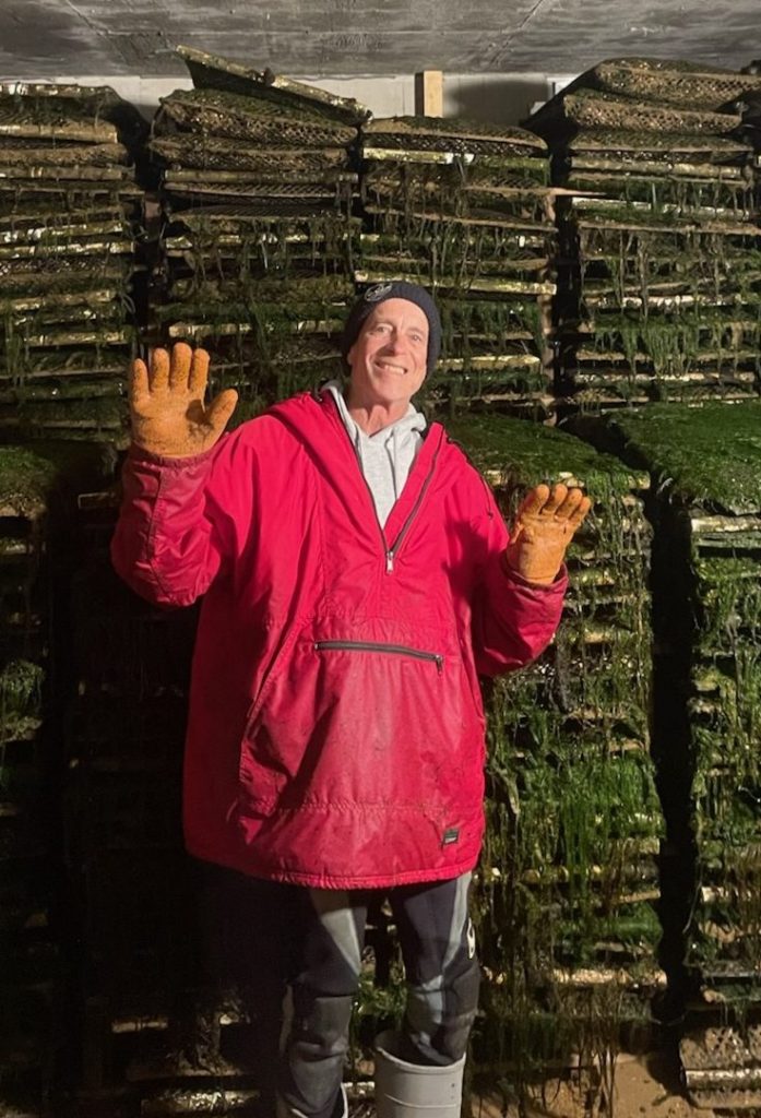
Oh, so, so many since 1994 – watching our kids grow up loving the beach and all that Wellfleet and the Cape offers, sunsets from the Duck Harbor ridge, beautiful low tides on the flats working with our oyster farmer friend, full moon rising kayak tours on Duck Creek, hikes with our dogs on Seashore trails, glassy surf sessions.
What would your perfect day in Wellfleet look like?
All of the above capped off by a bonfire BBQ on the beach!
What was your life like before or outside Wellfleet?
Growing up on Long Island, NY, I was acutely aware of the negative impacts of poorly planned and over development. This led me to pursue a natural resources planning graduate degree at the University of Vermont. Being in Vermont, I concentrated my field work on protecting farmland. After a stint with the Vermont Department of Agriculture where I helped with the development of a statewide strategy to promote farmland protection techniques and a few years on the personal staff of then-VT Congressional Member, Jim Jeffords, I joined the American Farmland Trust and opened their Northeastern Field Office in 1985. My work with the organization eventually involved participating in the passage and funding of state and local programs to protect farm and ranch lands across the country. I remained with AFT until I retired in 2016.
What was the most satisfying aspect of your work?
Meeting and working with farm and ranch families, their neighbors and advocates was an honor and highlight.
What other boards and concerns have you been a part of in Wellfleet?
I currently serve on the Wellfleet Housing Authority, the Local Housing Partnership and the Community Preservation Committee. I previously served on the Maurice’s Campground Planning Committee.
What is the most adventurous thing you have ever done?
With our younger daughter, I hiked the Salkantay Trek to Machu Picchu in 2017. I was then fortunate to follow this up with a tour of the Galapagos Islands.
Besides the blue heron, which is the WCT logo, are there other animals or birds you often observe?
My wife, Janet and I, are big fans of shore and marsh birdswith the Great Blue Heronbeing one of our favorites.
Did anything famous conservationist writers/activists make an impact on the way you view nature?
The work of Ansel Adams and Georgia O’Keefe for sure.
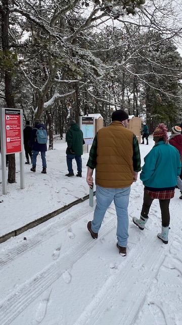
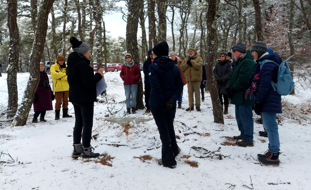
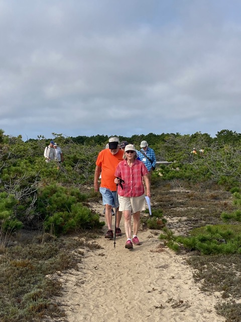
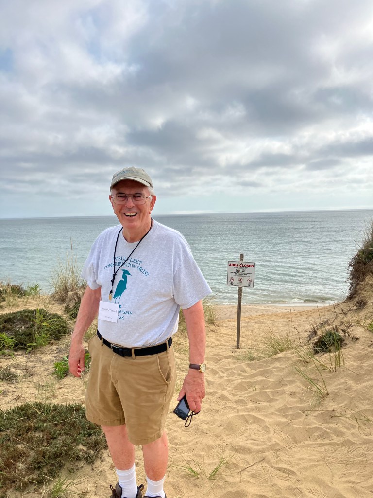
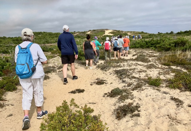
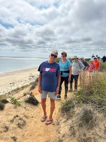
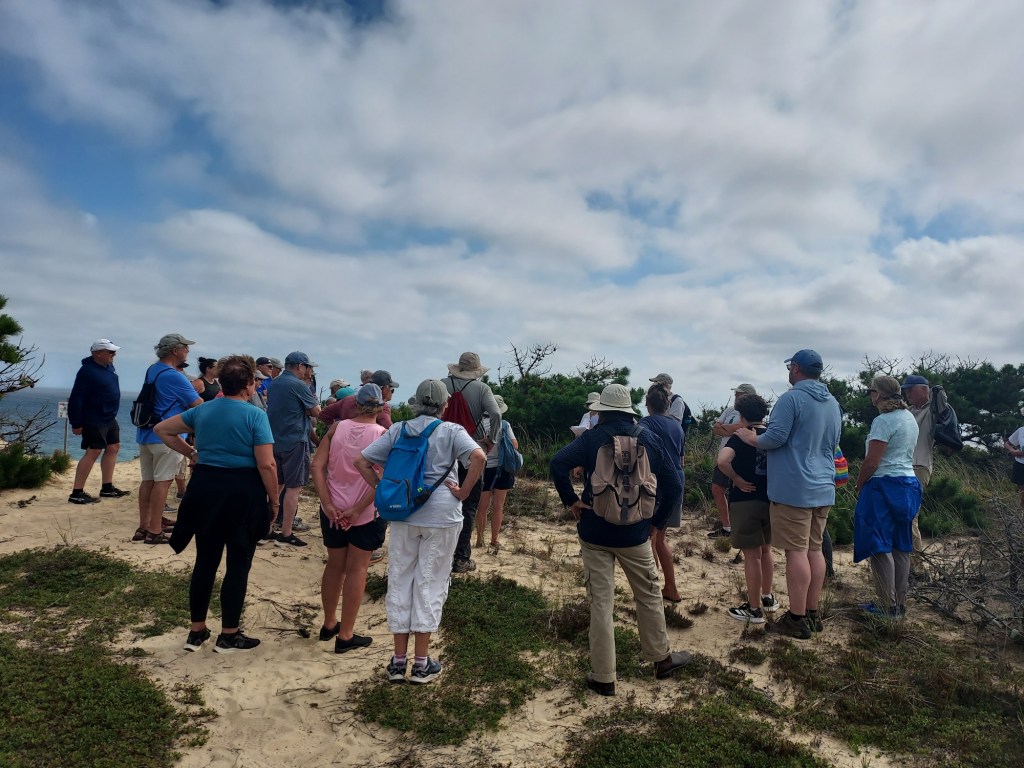
Our Annual Guided Walk set off from the Cape Cod National Seashore Headquarters in the Marconi area. Partly sunny skies and a breeze at our backs made walking easy for the thirty-seven walkers set out at 9 a.m. to a crossroad in the middle of the area. There President Denny O’Connell greeted the participants, and South Wellfleet historian Pam Tice gave a brief history of the creation of the Cape Coc National Seashore.
The walkers headed east through the Seashore’s recycling area, where pallets and old wood were stored. Advice to all was to keep walking. At the top of the high bluff above the ocean, Denny O’Connell discussed beach erosion, and Bill Iacuessa distributed photos of the Camp Wellfleet’s unmanned target planes and told how the military trainees shot at them until the sock trailing behind or the drone plane itself went down.
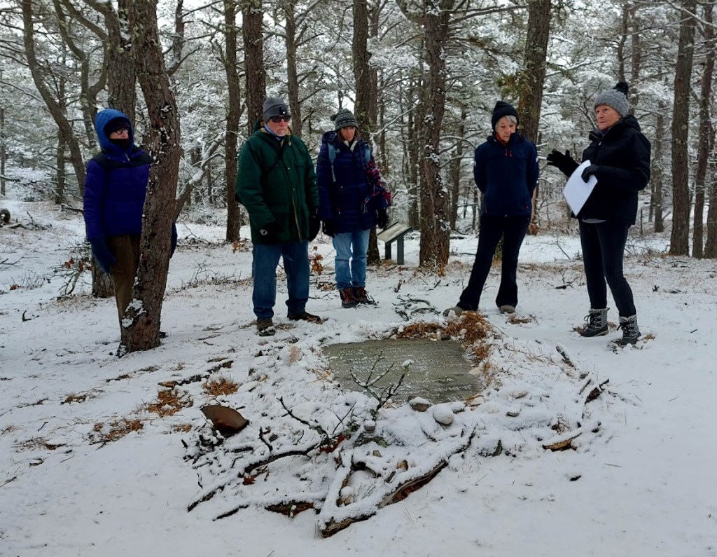
From there, the walk took a turn to the north and followed a path along the top of the bluff. Dwight Estey, historian of the Wellfleet Museum and Historical Society, outlined the area of notable shipwrecks including the end of the Castagna.
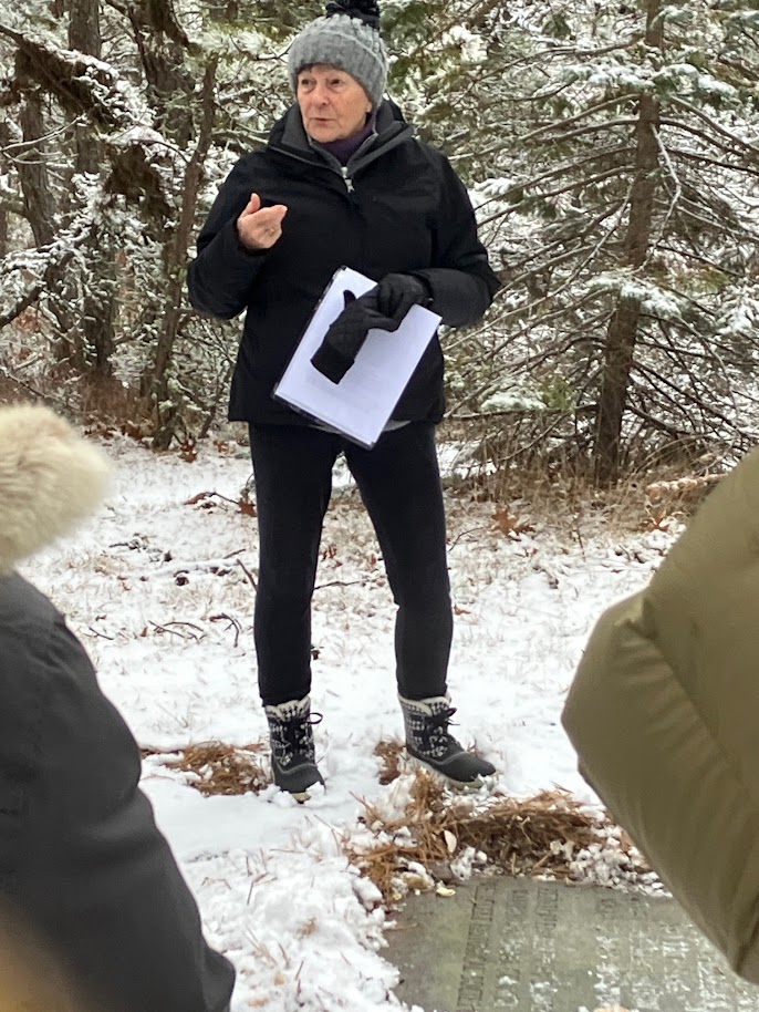
At the end of the path, Alice Iacuessa gave information about the famous Marconi Station a little further to the north. She concluded the history of the Marconi area with more history of Camp Wellfleet during WWII and through the 1950’s and 60’s.
The walkers turned west and crossed the paved road leading to the Marconi towers site and entered a trail that led them to a portion of the Old King’s Highway. Bill Iacuessa gave the final presentation on the history of Old King’s Highway, which ran from Sandwich to Provincetown. This section brought to everyone back to the rear of the headquarters building, completing a full circle from where they began.
Back in the parking lot, many tired, but happy, walkers commented that this walk was one of the best walks ever.


You must be logged in to post a comment.