
Thanks to the hard work of Mary Doucette, Year 22 Member of AmeriCorps Cape Cod, we now have a new open space map for Wellfleet.
The map is in portable document format (pdf), meaning that it should be easily viewable on most computers, tablets, and phones. At 900 dots per inch, the detail is amazing, showing roads, buildings, ponds, beaches, and more.
It displays lands managed by the Cape Cod National Seashore, Wellfleet Conservation Trust (both Trust lands and conservation restrictions), the Town Conservation Commission, Mass Audubon, and the Commonwealth of Massachusetts.
It’s worth noting , as you can see on the map, that many of the lands abut others, making possible extended walking trails and unrestricted views.
You can see a thumbnail version of the map on the home page of the Wellfleet Conservation Trust site. If you click on that small map, you should be able to see the much more detailed pdf version. That one can be viewed online, zooming in or out, or downloaded for more detailed offline study or printing.

 Although most visitors come in the summer and many walkers prefer warmer weather, the trails offer a special beauty in winter, with opportunities for cross-country skiing, snowshoeing, winter birding, and even picnics.
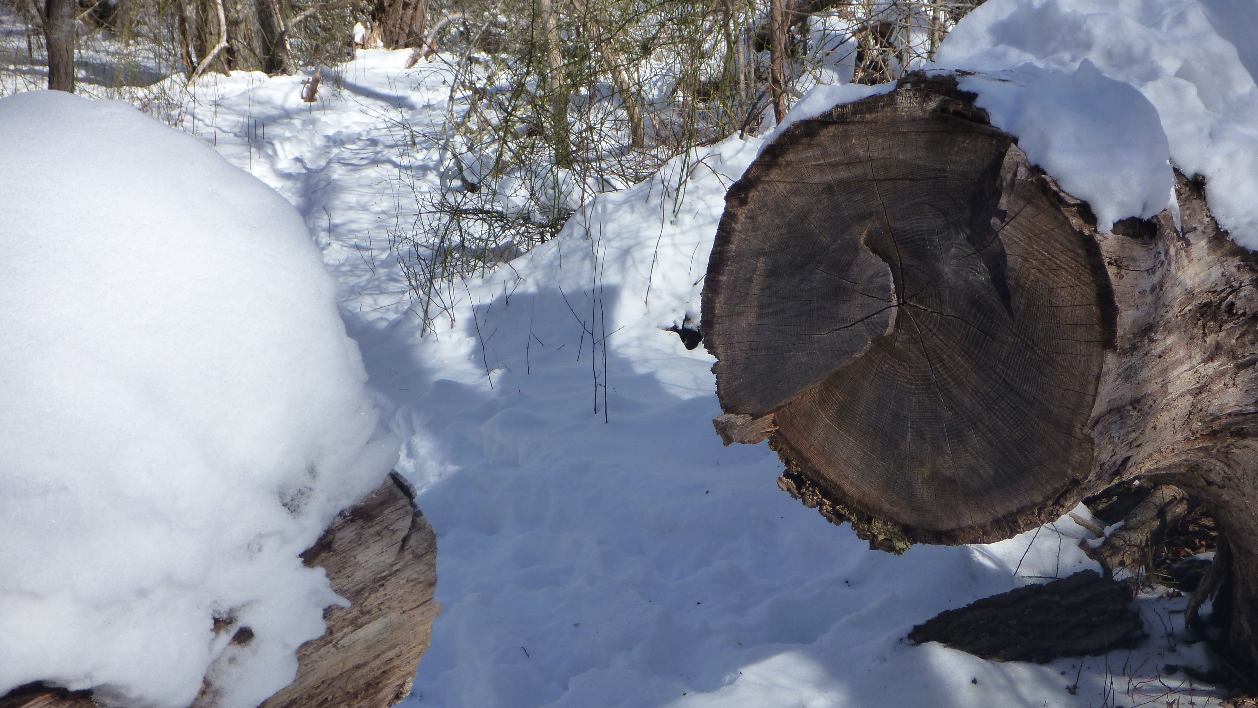 The Trust builds and maintains these trails, with the help of Americorps members and others in the community. The trail building includes making a safe path, cutting branches and vines, pulling up trip roots, adding rustic stairs on steep sections, marking with blazes, placing benches, clearing parking spaces, and adding signs.
 The location of Wellfleet Conservation Trust lands are shown on the map in the sidebar. Click on the map to see a high definition pdf version. The pdf is zoomable and can be saved for later use. Also, at each trailhead there is a sign with a QR code, which you can use with your smartphone to find a trail guide with map for the specific trail.


You must be logged in to post a comment.